
Yuma County ZIP Coverage
Thirteen ZIP labels appear in the researched Yuma County coverage set. They range from the Yuma core and lower-valley cities to desert settlements, post-office boxes, and a military installation. The USPS ZIP Code Lookup should settle the code for a specific address because map tables show broad service areas, not delivery validation.
| ZIP | Areas covered | Post office or function | Local note |
|---|---|---|---|
| 85321 | Mainly Ajo and Pima County; possible eastern county edge | Ajo Post Office | Edge case; verify the address |
| 85333 | Dateland and broad eastern desert along I-8 | Dateland Post Office | Rural postal area |
| 85336 | Gadsden and lower valley | Gadsden postal area | Verify each address |
| 85347 | Roll and Wellton-Mohawk rural area | Roll Post Office | Agricultural and rural |
| 85349 | San Luis | 874 S. Main St. | Postal area differs from city line |
| 85350 | Somerton and lower valley | 450 E. Main St. | Extends past incorporated area |
| 85352 | Tacna and eastern I-8 | 40140 E. Highway 80 | Rural |
| 85356 | Wellton and surrounding valley | 28610 Oakland Ave. | Extends beyond town limits |
| 85364 | Central and west Yuma, older core | 2222 S. 4th Ave. | Standard delivery |
| 85365 | East and southeast Yuma plus rural desert | Yuma postal place | Large area outside City of Yuma |
| 85366 | Yuma post-office boxes | Processed with Yuma 85364 | PO-box-only, no neighborhood polygon |
| 85367 | Fortuna and Yuma Foothills | 11692 S. Fortuna Rd. | Much is unincorporated |
| 85369 | MCAS Yuma | Military and institutional | Not a general neighborhood ZIP |
Arizona Department of Economic Security tables supply the broad reference geography, while USPS supplies the current address answer. No authoritative wholesale Yuma County ZIP realignment year was found. A historical claim about a split or boundary change therefore needs a dated postal source, not a guess based on a modern map.
Find Yuma County Residents by ZIP
A ZIP code directory narrows the field, but no official portal provides a complete ZIP-wide household roster. The Assessor's property roll can match stored situs addresses and named owners. It does not prove who occupies a parcel. Voter information is purpose-limited under Arizona law, and the personal portal verifies one's own registration rather than offering casual ZIP browsing.
- Enter the full street address in the official USPS lookup and record the standardized city, state, and ZIP.
- Search Yuma County Assessor EagleWeb for Real Property using the combined City/ZIP field, then preserve the assessment year.
- Open a matching parcel and compare situs address, owner mailing address, parcel number, and legal description.
- Use county or city GIS to check the parcel, nearby streets, and annexation status. Copy the parcel number back into official record searches.
- If the goal becomes a full named-street chain, continue with the Yuma County street directory.
When EagleWeb is down or incomplete, the Assessor counter at 197 S. Main St., Suite 201, is open weekdays from 8 a.m. to 5 p.m.; the phone is (928) 373-6040. A narrow written request may ask for the relevant assessment-year roll and maintained data fields. That fallback is more precise than asking staff to build a new ZIP report.
Verify Yuma County ZIP Codes
The USPS tool offers two useful paths: verify a ZIP from a full address, or look up the ZIPs associated with a city and state. Address mode is the better choice for one parcel. Keep apartment or unit information when supplied. The result is a delivery label, not proof of city jurisdiction or residence.
| Lookup field | Use in Yuma County |
|---|---|
| Street address | Use the complete delivery address and number. |
| Apt, suite, or other | Keep a known unit to avoid an incomplete delivery result. |
| City | Enter the mailing city, which may differ from municipal jurisdiction. |
| State | Select Arizona for the county search. |
| ZIP result | Carry it into the parcel search as one filter. |
The USPS address verification form is the authoritative postal starting point.
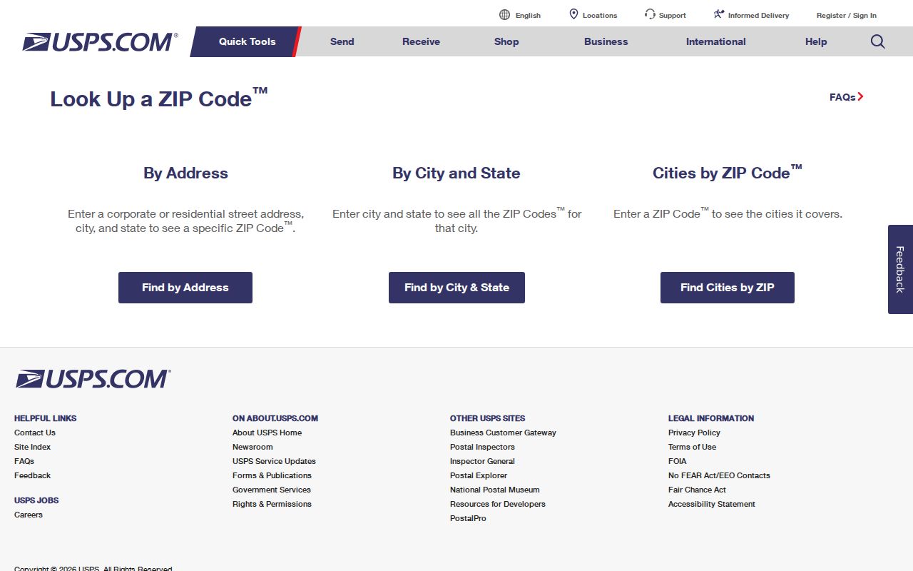
The form confirms how mail should be addressed before parcel or directory searches reuse the ZIP.
Yuma ZIP Beyond Yuma
ZIP 85367 carries “Yuma” as a mailing city across much of unincorporated Fortuna Foothills. ZIP 85365 also covers broad rural and desert territory outside the City of Yuma. This is the county's clearest ZIP code quirk: the familiar place name on an envelope does not decide which government handles permits, planning, or other address records.
Check the city or county annexation layer and the record date. A parcel now within Yuma may have older county permit files and later city files. City Planning can be reached at (928) 373-5175. County Development Services is at (928) 817-5000. Permit applicants and contractors document project roles, but they are not a list of residents.
Note: A Yuma mailing city can describe postal service while the property remains outside the incorporated city boundary.
Special Yuma County ZIP Functions
Two entries do not behave like ordinary neighborhood areas. ZIP 85366 serves Yuma post-office boxes and is processed with 85364. It has no normal residential polygon to walk block by block. ZIP 85369 serves MCAS Yuma as a military or institutional code rather than a broad public neighborhood.
The USPS Yuma location details help distinguish a postal facility from a ZIP boundary.
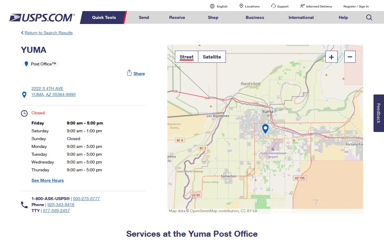
The facility record supplies service details, while address lookup remains the right tool for confirming a particular mailing label.
A post-office box identifies a mail receptacle, not a home. The MCAS code identifies institutional routing, not every person's off-base address. Neither should be expanded into claims about a household or neighborhood.
Yuma ZIP Fields in EagleWeb
The Yuma County Assessor EagleWeb advanced form combines City and ZIP in one field. It is not a drawn ZIP map. A ZIP-only test should be limited to Real Property and read as a match against stored situs text, not a count of all residents.
| Field | Input or choice | Why it matters |
|---|---|---|
| Account type | Real Property, Personal Property, Mobile, and other classes | Use Real Property for parcel-focused work. |
| City/ZIP | Combined text field | Filters stored situs strings, not a boundary polygon. |
| House number and extent | Number or range | Adds street precision after ZIP narrowing. |
| Street name and designation | Name plus AVE, ST, RD, HWY, and other types | Keep the local suffix and spelling. |
| Direction and unit | Directional and unit fields | Separates similar addresses. |
| Subdivision, lot, block, tract | Named and numeric land fields | Bridges postal wording to parcel identity. |
Assessment classes such as owner-occupied, family-occupied, or rental describe tax treatment. They do not identify a full household. Preserve the valuation year and open the parcel detail instead of reporting a search-result count as a resident count.
Yuma ZIPs Versus ZCTAs
The Census Bureau uses ZIP Code Tabulation Areas, called ZCTAs, to summarize census data around common ZIP patterns. A ZCTA approximates a postal service area. It is not a USPS delivery route and may not reproduce a current ZIP boundary. That distinction matters most across sparse Yuma County desert tracts and the edges of incorporated communities.
The Census Bureau ZCTA explanation states how the statistical geography differs from USPS ZIP service.
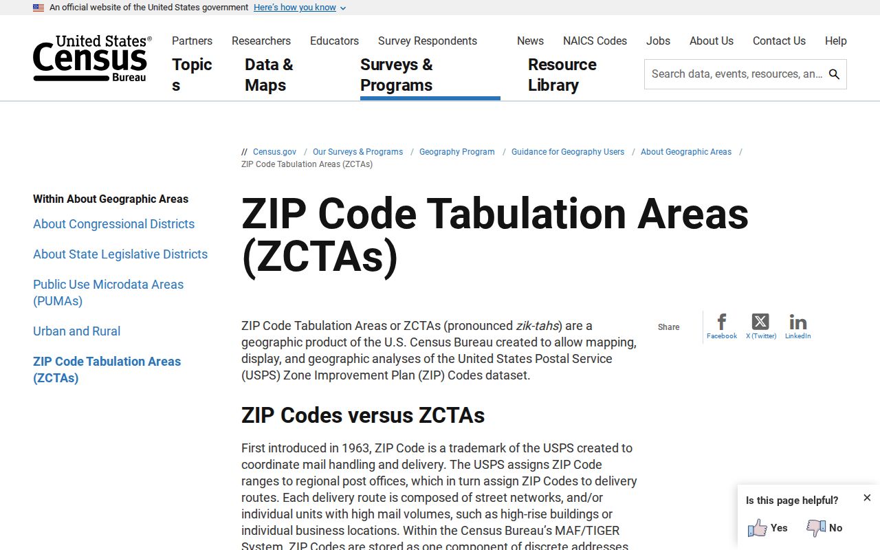
This distinction keeps a population estimate from being misread as a roster or exact delivery-area count.
- ZIP code
- A USPS routing label used to move mail; it is not a municipal boundary.
- ZIP+4
- An added four digits that refine delivery within a ZIP, often to a block, building, or mail group.
- PO-box ZIP
- A code used for post-office boxes rather than a normal neighborhood service area.
- Unique ZIP
- A code assigned to one large organization or institution for mail handling.
- Carrier route
- A postal delivery path within a ZIP, which can change as service changes.
- ZCTA
- A Census statistical approximation built for data reporting, not postal validation.
Yuma County ZIP Limits
Four place labels must stay separate. The situs address is the Assessor's physical parcel location. The mailing address is where tax mail goes. The legal description identifies the land in recorded terms. The parcel number, or APN, is the Assessor's account key. A ZIP code directory contributes one postal field but cannot replace any of the other three.
Subdivision, lot, and block data help when postal wording changes. In rural Yuma County, Public Land Survey System fields such as section, township, and range can bridge a parcel to older maps and deeds. The county GIS supplies geometry and context, while the Recorder's instrument controls the recorded land interest.
Voter ZIP data is not a casual online directory. Arizona's personal portal is identity-gated, and formal voter-list extracts require an authorized statutory purpose under A.R.S. § 16-168. Protected registrations and sensitive fields stay withheld. Aggregate precinct or district counts describe civic geography, not named residents.
A careful Yuma County ZIP code lookup therefore ends with a qualified result: USPS verifies mail routing, the Assessor identifies a parcel record, GIS tests jurisdiction, and the relevant custodian confirms the underlying document. No one of them proves the whole household.
For an older address, preserve the spelling, fraction, direction, and street type shown on the source. Yuma's numbered Streets tend to run east-west, while Avenues tend to run north-south. First Street divides north from south, and First Avenue divides east from west. Rural half and quarter names, including County 9½ Street and Avenue B½, reflect the farm grid. EagleWeb stores direction and designation separately, so dropping one part can hide a parcel. City Resolution R2002-22, adopted in 2002 and updated in 2020, governs uniform road naming and addressing for emergency response, delivery, and upkeep.